shadeway.today
Valencia
Shaded walking routes for you and your dog in Valencia
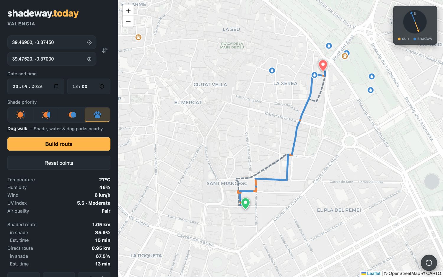
In summer, asphalt in the sun gets very hot for paws. Dog walk mode looks for shaded streets, prefers dirt or grass where the map knows of any, avoids parks that don't allow dogs, and marks the nearest drinking fountains and dog parks.
What this mode does
Shade first, then dirt or grass where there is any
It follows the shade of buildings and trees at the time you choose. If the map knows a path is dirt or grass, it prefers it to asphalt. If it doesn't know, it assumes asphalt.
Goes around parks that don't allow dogs
If a park is tagged on OpenStreetMap as “dogs not allowed”, the route goes around it and only crosses it when there's no other way.
Fountains and dog parks in view
With the mode on, the map marks the nearest drinking fountains and dog parks. Tap one to set it as your start or destination.
By the numbers
Good to know
What it takes into account, and what it doesn't
The ground surface is known for only about 37% of streets. Everywhere else it assumes asphalt. That's why the route changes little in the city centre; it shows more in parks and on the outskirts.
Parks that ban dogs only count if they're tagged on OpenStreetMap. There are about 400 such segments in Valencia right now; if a tag is missing, the route can't know.
It doesn't measure ground temperature. It calculates shade and picks surfaces, with no sensors.
A mistake on the map gets fixed on OpenStreetMap and shows up here with the next data update.
Frequently asked questions
How is it different from the regular shaded route?
The regular route only looks for shade. This mode also prefers dirt or grass where there is any, goes around parks without dogs, and shows fountains and dog parks.
Does it work outside Valencia?
Yes, in Camp de Túria, l'Horta Sud, Sagunto and Puçol too. The city of Valencia has far more fountains and dog parks than those towns.
Do I need to sign up or pay?
No. It works in your browser, with no account, no install and no cost.
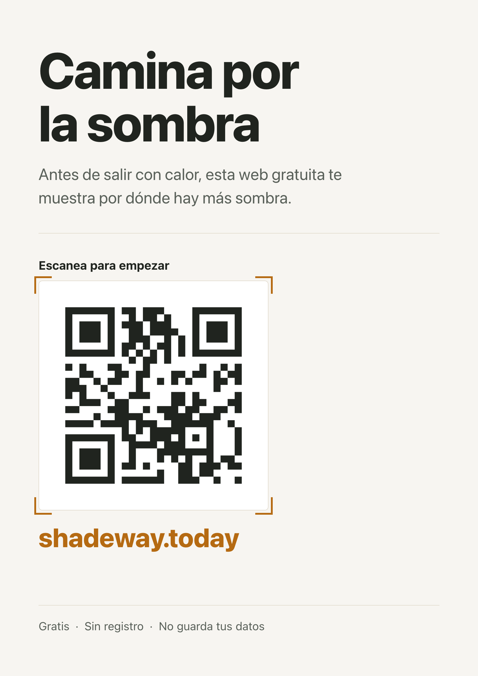
QR code
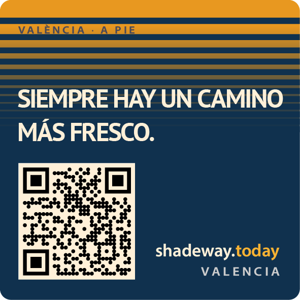
QR sticker — "There's always a cooler way"
Square design ready to print as a sticker or share on social media.